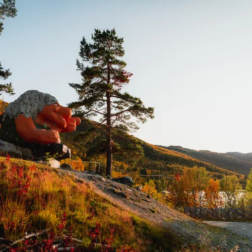
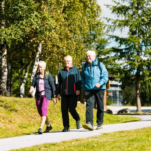
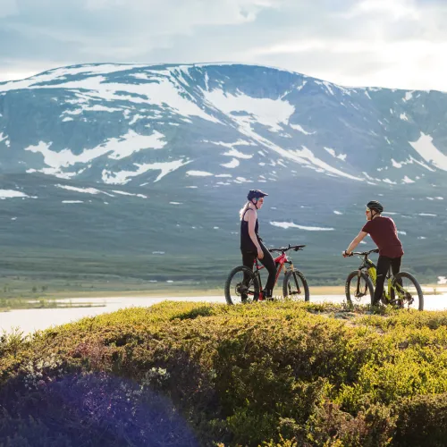
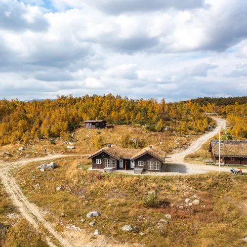
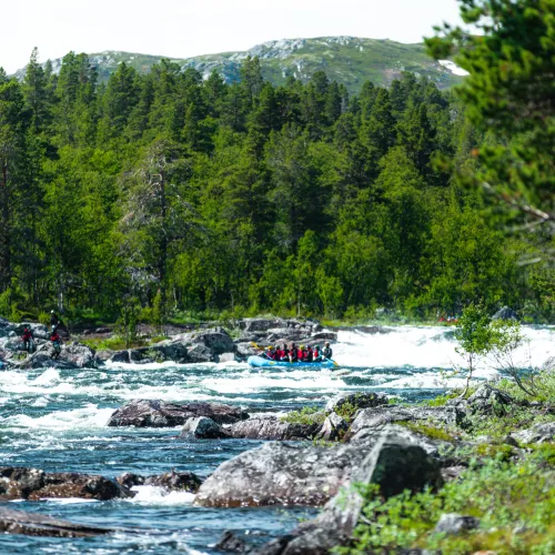
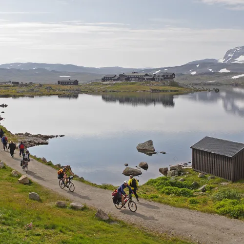
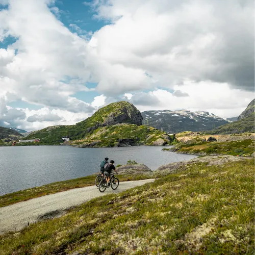
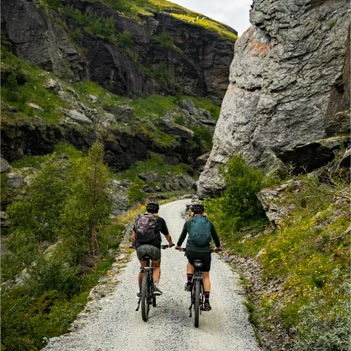
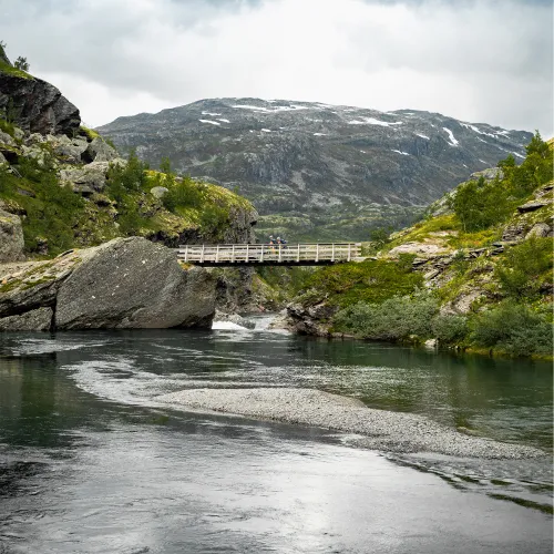
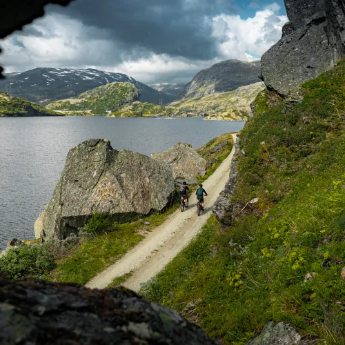
Explore Geilo by bike

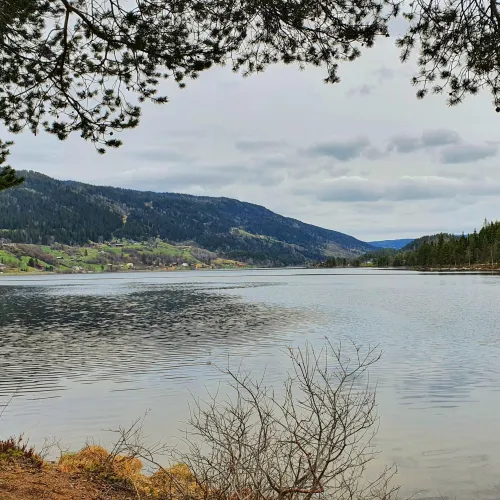
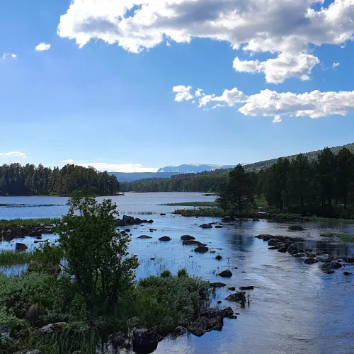
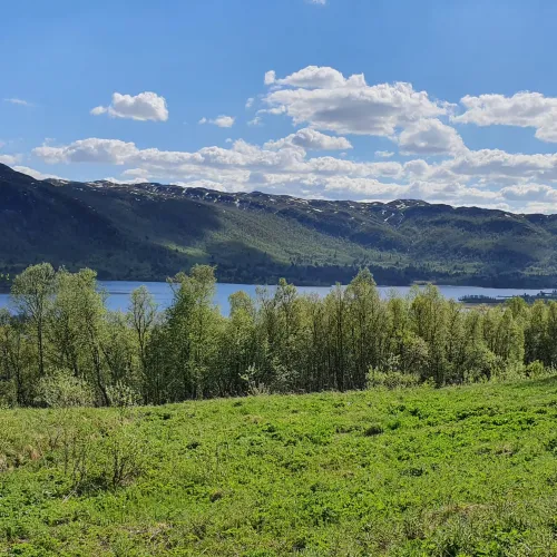
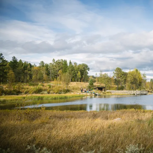
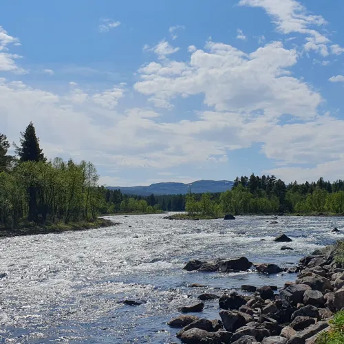
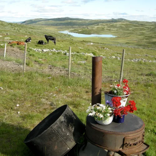
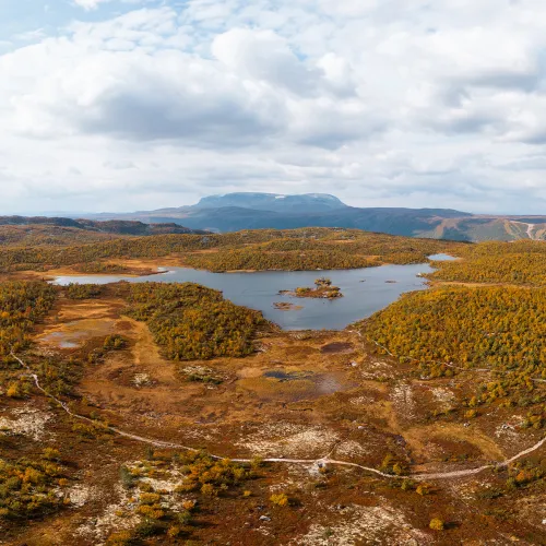
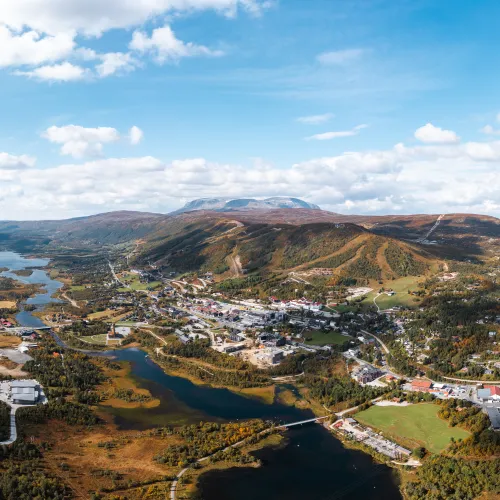
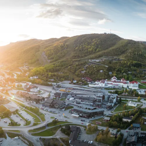
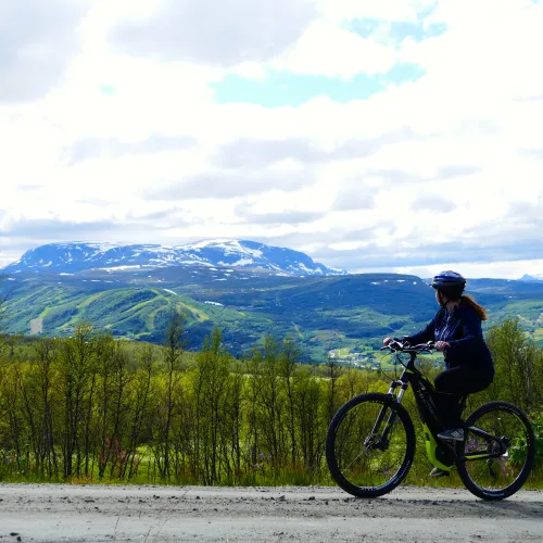
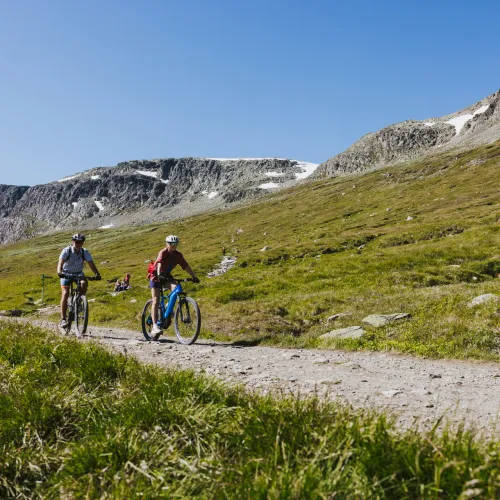
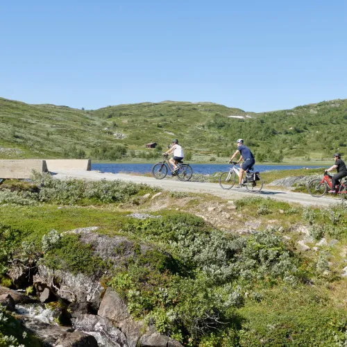
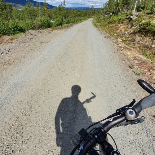
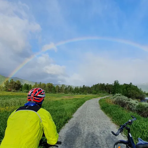
Around Geilo there is a network of bike paths and gravel roads that wind through mountains, forests and valleys. Many of the routes follow historic trails that are upgraded and adapted to cycling and well-maintained terrain.


On this page, we've gathered the most popular and unique cycling routes, organised by area and interest – bike towards the national parks, explore routes near the city centre or find trails that can be cycled all year round.

View maps and explore the areas

Recommended bike tours

This is a compilation of the most recommended and popular tours for regular, electric and mountain bikes. Use the blue buttons to quickly filter on the different options.

The tour description contains more information, including terrain and elevation. None of the trips are signposted. From the description, GPX file and map can be downloaded for use. These roads are well suited for both hiking and using wheelchairs and strollers, and offer easy accessibility – ideal for an accessible adventure in the mountains. Drive up the mountain road (tolls) to avoid inclines and have an easier trip. 

If the trip does not start in Geilo, the starting location and driving time are stated in the summary. The description also contains information about public transport to the starting point.
 

Family-friendly and accessible Starting in Geilo Up in the mountains Rallarvegen Long tours / cycling holidays Interactive map


Family-friendly and accessible tours 

These trips are suitable for many people - whether walking, using a kick scooter, biking a regular- or electric bike, or push a pram and use a wheelchair. The routes follow roads and paths with level surfaces and are continuous, making them easy to navigate.

Here, "accessible" means that the trips are manageable both in distance and terrain - but some height difference should still be expected along the way.

Season: The season usually lasts from mid-May until the first snowfall and weather conditions usually have little impact on the experience.

Surface: The surface varies between gravel, paths and paved sections of the walkway, and offers a pleasant mix of nature, local neighbourhoods and experiences. Besides Ustedalsfjorden there will be some motorized traffic.


The tour description contains more information, including terrain and elevation difference. None of the trips are signposted. From the description, GPX file and map can be downloaded for your own use. These roads are well suited for both hiking and using a stroller and wheelchair, and offer easy accessibility – ideal for an accessible adventure in the mountains.

Rundt Ustedalsfjorden kan du lese informasjonsskilt og møte denne kjempetrollen som peker mot nasjonalpark Hallingskarvet

Ustedalsfjorden

Difficulty: Easy Length: 10km Duration: 1h - Combination of both culture insights, nature and sporty bike trails on your way.

Oversikt over Holsfjorden tidlig i sesongen

Holsfjorden

Difficulty: Easy Distance: 12km Duration: 1h Start: Hol (10 min) - A tour with culture and tradition in Hol centre, and nature.

Hovet kirke ligger skult inne i skogen langs fv50

Hovet round

Difficulty: Easy Length: 14km Duration: 1,5h Start: Hovet (30 min) - Pass the farms in Hovet and trough the forest along the river

Brua over Skurdalsfjorden gir flott utsikt

Skurdalsfjorden

Difficulty: Medium Length: 18km Duration: 12h Start: Skurdalen (10 min) - A nice tour trough the forest and the centre of Skurdalen.&nbsp

Starting in Geilo 

All of these cycling routes start from Geilo and offer a variety of scenic experiences – whether you prefer smooth asphalt or rustic gravel roads. Choose between relaxed routes close to the city center or more challenging mountain routes. Along the way, there will be fantastic views of Hallingdal and glimpses of Geilo's famous ski slopes, as well as longer views to the surrounding mountain areas. 

Season: The Geilo round and the Factory Tour are available all year round. Kikut Round and Eilevstølen can be reached from mid-June. 

Surface: Downtown tours are mostly paved. Mountain routes follow gravel roads. Both with some motorized traffic


The tour description contains more information, including terrain and elevation. None of the trips are signposted. From the description, GPX file and map can be downloaded for use. These roads are suited for both hiking and pushing a stroller and wheelchair, and offer easy accessibility – ideal for an accessible adventure in the mountains. It can be driven up (tolls) to avoid inclines and have an easier trip.

Geilo sentrum

Around Geilo

Difficulty: Easy Length: 11km Duration: 1h - A combination of both nature and the Geilo centre.

Geilo sentrum

Factory round

Difficulty: Medium Length: 15km Duration 1,5t - Visit two of the proud craftsmanship factories during this tour.

Hakkesetstølen startpunkt til Birgithovda

Up to Kikut

Difficulty: Medium Length: 14km Duration: 2,5h - Bike in to the mountains to Hakkesetstølen from the town centre.

Syklist på grusveg på vei opp Eilevstølen med utsikt over Geilohovda med alpinbakkene og Hallingskarvet i bakgrunn. sommer

Up to Eilevstølen

Difficulty: Medium Length: 24km Duration: 3h - Bike up to get views to Hallingskarvet and Reineskarvet

Trips up to the mountains

Trips filled with beautiful nature experiences, wide views and greater range – these tours can both be used as a workout or a relaxed ride with the family, a bike ride in the mountains rarely disappoints. The tours are suitable for everyone, especially when using an e-bike. Avoid the steep climbs, by driving a part of the way up (toll road) and start the route from the mountain. 

Season: Most mountain roads open for cycling in late June or early July, and the road surface is maintained after the winter season. 

Surface: Wide gravel roads with motorized traffic. 


The tour description contains more information, including terrain and elevation. None of the trips are signposted. From the description, GPX file and map can be downloaded for use. These roads are suited for both hiking and using a stroller and wheelchair, and offer easy accessibility – ideal for an accessible adventure in the mountains. It can be driven up (tolls) to avoid inclines and have an easier trip.

sykkeltur til prestholt

Geilo to Hallingskarvet

Difficulty: Medium Length: 25km Duration: 2,5h - Bike straight in to the national park Hallingskarvet and Prestholt.

sykel til tuva

Geilo til Hardangervidda

Difficulty: Medium Length: 50km Duration: 4,5t - From Geilo via Skurdalen up to the Hardangervidda and Tuva Turisthytte.

Fagerdalen sommer

Holsåsen and Bergsjø

Difficulty: Hard Length: 70km Duration: 7h Start: Hol (10 min) - From the farms in the valley up to Fagerdalen støl.

Dagali Opplevelser rafting elv

Seterdalen and Numedalslågen

Difficulty: Easy Length: 40km Duration: 3,5h Start: Dagali (30 min) - Follow the river Numedalslågen up to Hardangervidda.

Rallarvegen

There are several ways to explore the famous Rallarvegen. Everything from a family-friendly trip from Finse to Haugastøl, a trip that does not require train transport, or choose one of the longer routes to cycle all the way.

Season: The first section from Haugastøl and the last stretch from Myrdal down to Flåm are usually snow-free by mid-June. For the middle part, it usually has to wait until the beginning of July. The snow melt varies every year and depends on the amount of snow, temperatures and weather conditions. Follow "Rallarvegenraport" on Haugastøl Turistsenter's website for the latest updates on road conditions.

Surface: Gravel roads with some local motorized traffic.

The tour description contains more information, including terrain and elevation. None of the trips are signposted. From the description, GPX file and map can be downloaded for use. These roads are well suited for both hiking and using a stroller and wheelchair, especially around Haugastøl, Finse and Myrdal – ideal for an accessible adventure in the mountains. 

For more information, bike rental, tips and tricks, and everything else about the amazing Rallarvegen, visit the dedicated Rallarvegen page.

Rallarvegen

Rallarvegen Finse to Haugastøl

Difficulty: Medium. Length: 27km Duration: 2,5h Start: Finse (train) - Enjoy a family friendly tour on the Rallarvegen

Biking route Rallarvegen

Rallarvegen Haugastøl to Finse and back

Difficulty: Medium Length: 52km Duration: 5h Start: Haugastøl (30 min) - Enjoy the Rallarvegen without the necessary train journey.

Biking route Rallarvegen

Rallarvegen Haugastøl to Flåm

Difficulty: Hard Length: 79km Duration: 9h Start: Haugastøl (train) - Bike from the mountains to the fjords.

Biking route Rallarvegen

Rallarvegen Haugastøl to Voss

Difficulty: Hard Length: 110km Duration: 10h Start: Haugastøl (train) - Explore the Rallarvegen on your bike ride to Bergen

Long trips by bike / Cycling holiday

Nothing gives a better flow in body and mind than several days on a bike seat. With the freedom to set your own pace, take a detour to a hidden gem or enjoy a relaxing day along the way, a cycling holiday becomes a journey entirely on your own terms. From open mountain plateaus to lush valleys, the landscape changes beneath your wheels – each stage offers new vistas and fresh experiences.

Season: Usually from mid-June higher up the start of July, depending on the starting point.

Surface: A mix of paved and gravel roads with motorized traffic.
 

The tour description contains more information, including terrain and elevation. None of the trips are signposted. From the description, GPX file and map can be downloaded for use. 

Skygge av en syklist og synlig sykkelstyre, på en grus vei med grønne trær langs side, og uendelig utsikt som slutter med runde fjell og lett skyet himmel.

National bike tour 4

Difficulty: Medium Length: 256km - From Oslo to Geilo or the other way around, trough Hallingdal.

Nasjonale sykkelveg 4 går gjennom Uvdal med utsikt til fjelltopper med snø, og grønne trær langs vegen.

National bike tour 5

Difficulty: Medium Length: 305km - From Larvik to Geilo or the other way around, trough the valley Numedalen.

En regnbue over en grusveg med grønne dalsider på begge sidene, en syklist i forkant med rød hjelm og gul jakke. Og en sykkel med bagasje ved siden.

Trough Hallingdal on gravel

Difficulty: Hard Length: 158km - Explore the valley and the mountains in Hallingdal on gravel roads.

Rallarvegen langs et vann, med to syklister på vegen. Bilde er tatt gjennom et sprekk en stein, og man ser fortsatt litt snø på de mange fjelltoppene i bakgrunnen.

Rallarvegen and Skarvheimen

Difficulty: Hard Length: 326km - From the mountains to the fjords and back again, see the best of Norway.

Interactive map - More hiking options

Filter by activity and explore the interactive map. Zoom in and out to discover different tour suggestions in your area. Use the list on the left, or click on a box to see the description. Here you will find information about starting point, transport, map and elevation profile. You can also download the GPX file or print the page as a PDF for easy access on your device.

Winter adventurer for the next winter season. Filter by the right activity to find cross-country trails, snowshoeing and year-round trips. Or how about a great trip suggestion for the summer?