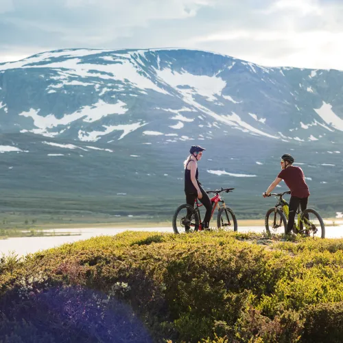
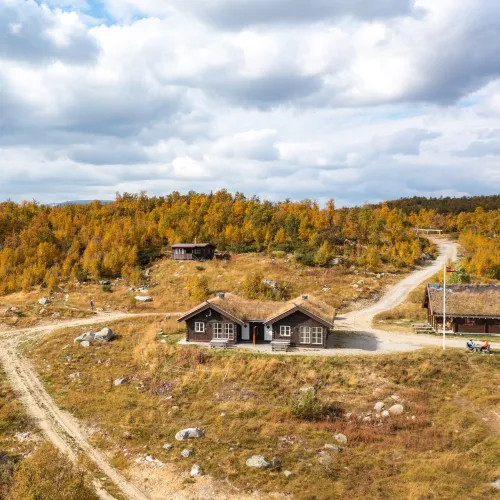
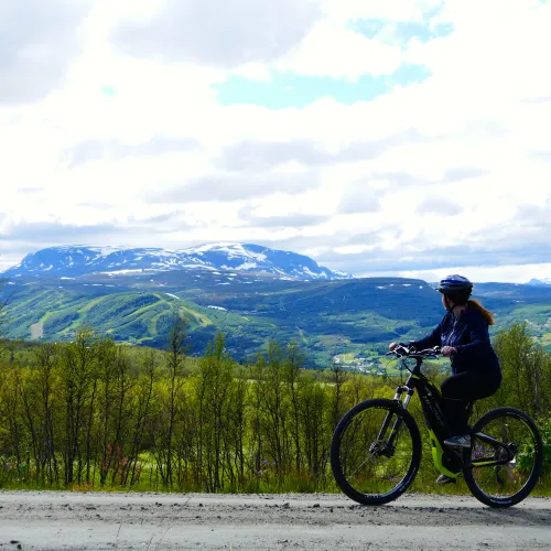
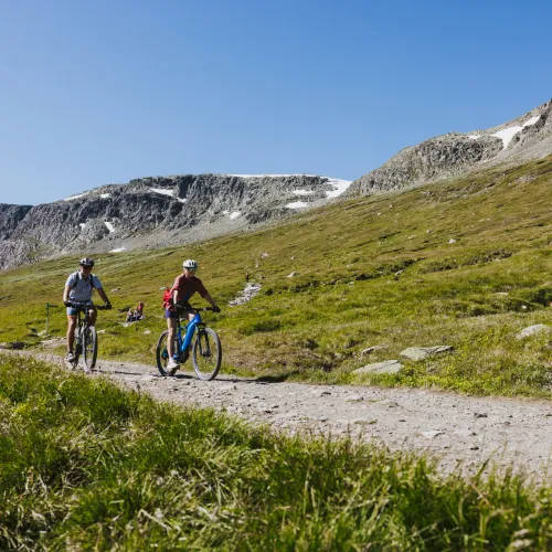
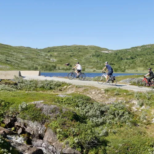
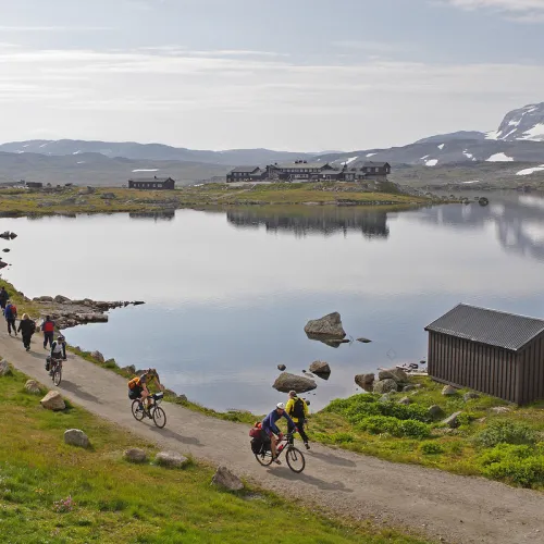
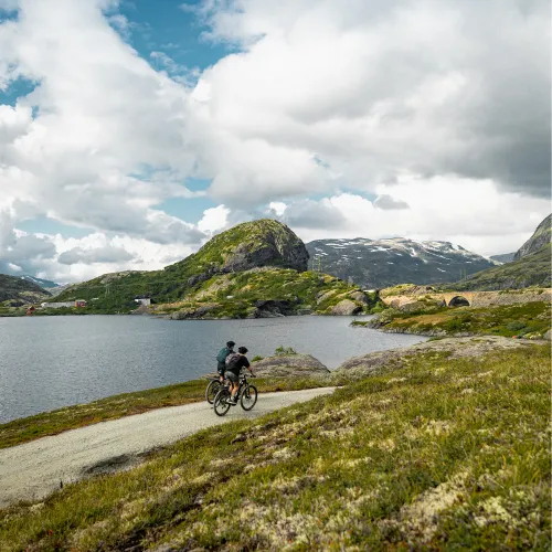
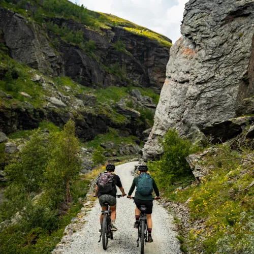
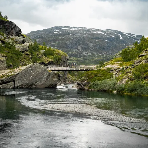
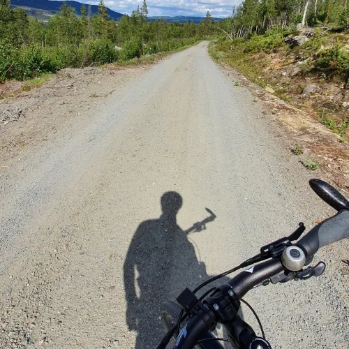
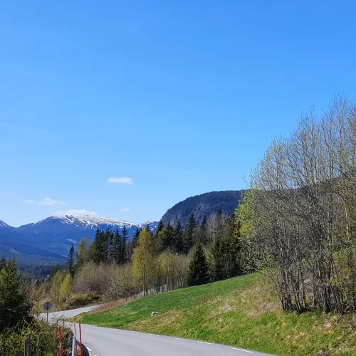
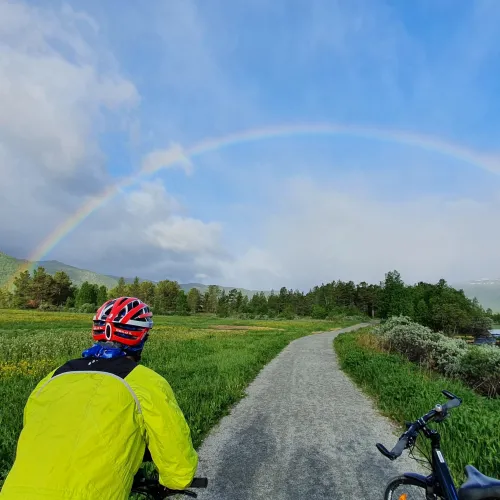
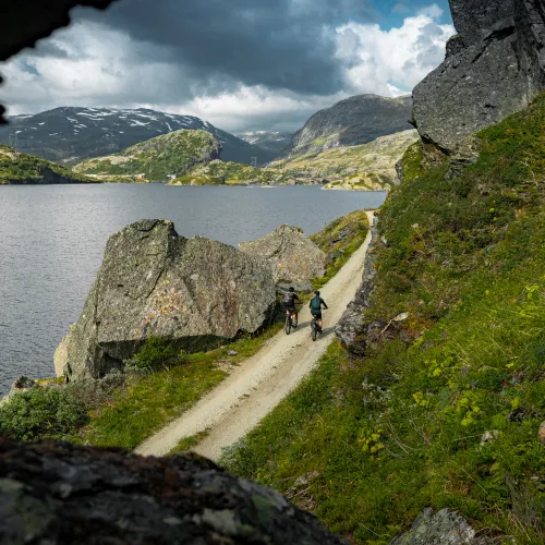
Utforsk Geilo på sykkel
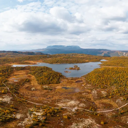
Her finner du et nettverk av sykkelstier og grusveier som slynger seg gjennom fjell, skog og daler. Mange av rutene følger historiske stier som er oppgradert og tilpasset sykling og godt vedlikeholdt terreng.
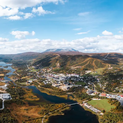
På denne siden har vi samlet de mest populære og unike sykkelrutene, organisert etter område og interesse – enten du vil sykle i nasjonalparker, utforske ruter i nærheten av sentrum eller finne stier som kan sykles hele året.