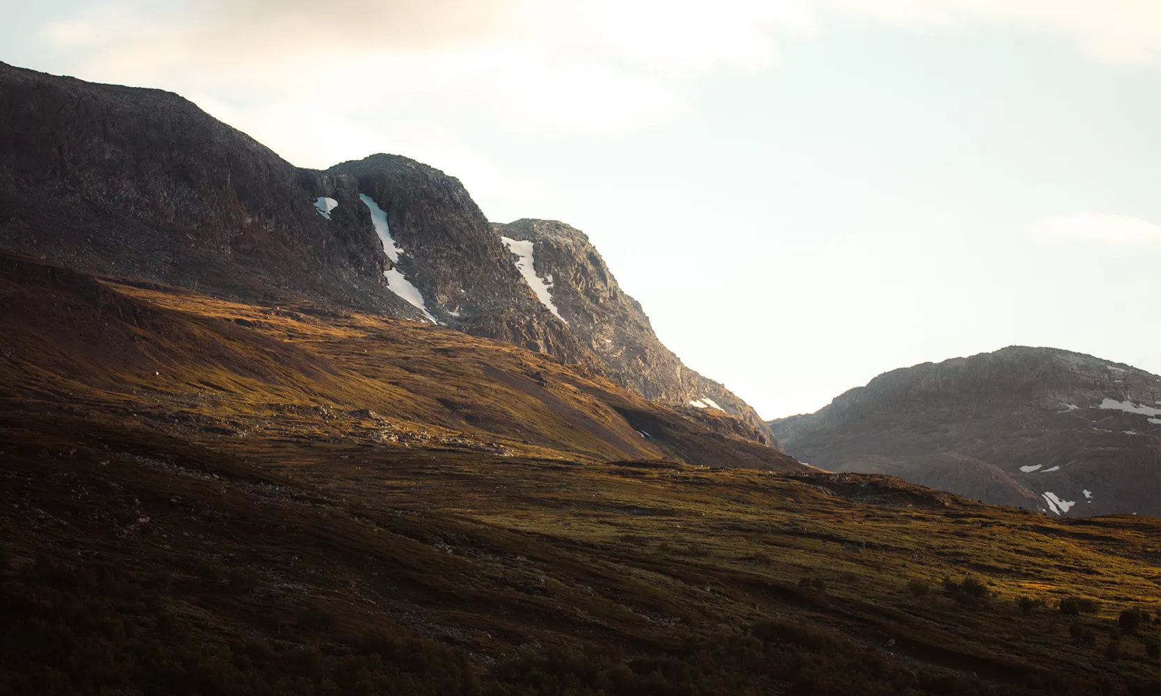
Hallingskarvet National Park
Established as a protected area in 2006, Hallingskarvet National Park is one of Norway's newest national parks. Covering an area of 450 km², the park spans three municipalities across two counties: Hol Municipality in Buskerud, and Ulvik and Aurland Municipalities in Vestland. It includes the Hallingskarvet Plateau and the adjacent high mountain areas to the west.
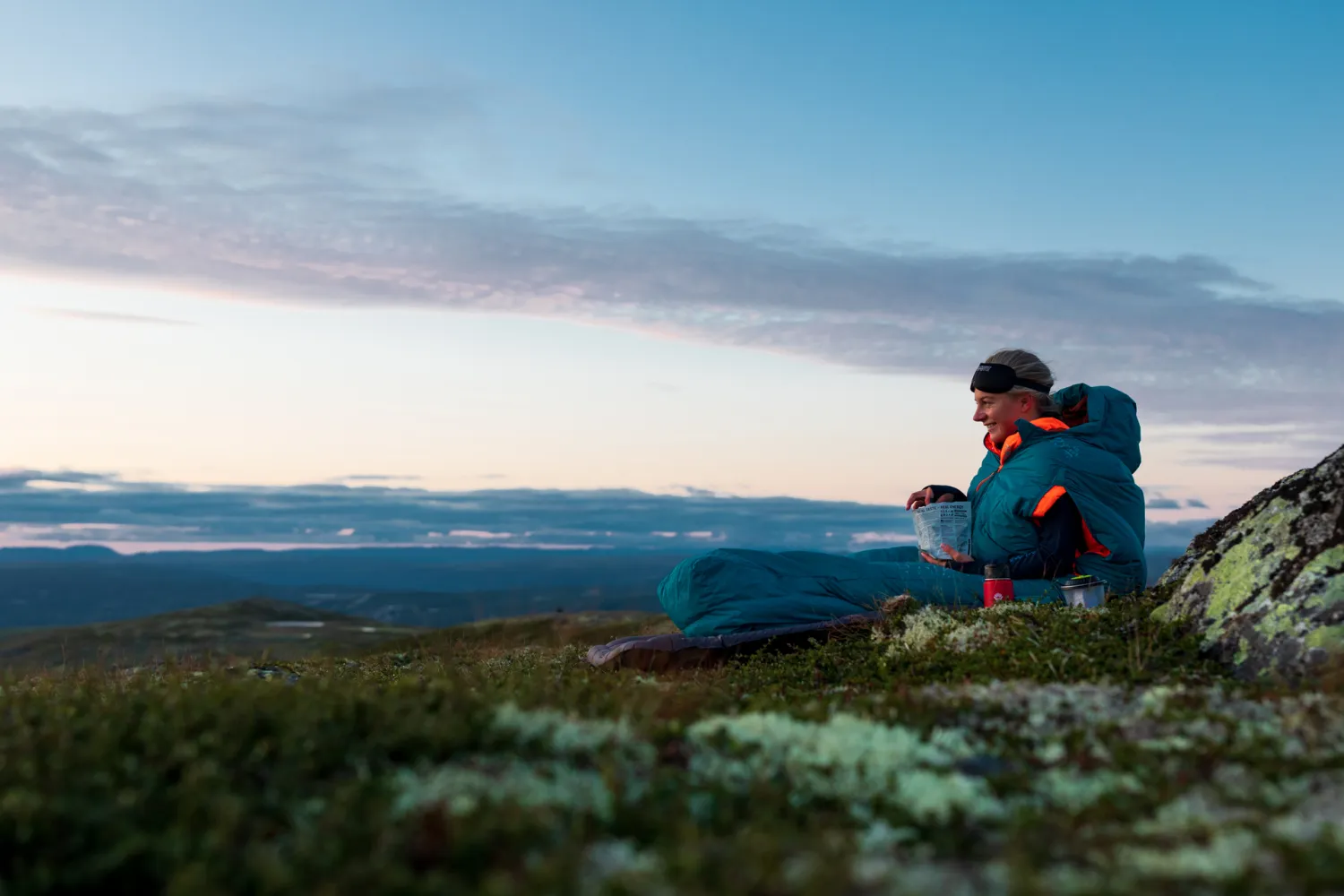
The national park is accessible from various directions. You can reach it from Haugastøl along National Route 7 or from Storestølen Fjellhotell on Road 50, though these routes require either a good hike or ski trip. In the summer, you can drive to Prestholtseter from Geilo, providing access to the base of Hallingskarvet National Park. The area is popular for outdoor activities and features an extensive network of marked trails and cross-country ski tracks. Hallingskarvet National Park offers breathtaking natural experiences year-round, in both summer and winter.
Hallingskarvet has also served as a source of inspiration for both philosophers and nobility!